
Waterside Ramblings Crouching River, Hidden Sands
Challenging situations can also present opportunities. Lockdown meant we could not race or take part in organised club sailing activities. However, once sailing was permitted again, the Sprint 15 fleet took the opportunity to go sail cruising instead. And for those who were now working from home – a late afternoon or evening sail was now possible, which the ordinary daily commute would have prevented.
Time was well spent with many trips cruising round Osea and Northey Islands or up to the Baffle or Radio Caroline and back. Following a few slightly longer cruises in company during our Camping Fortnight – two of us – Fleet Commodore Nigel and myself – began to hatch cruising plans to travel a bit further afield.
Burnham on Crouch
One destination firmly on the wish-list was a trip round to Burnham on the River Crouch. The real yacht sailors amongst you might be rolling your eyes at the suggestion this is a long distance cruise. I recognise that our cruisers regularly venture beyond the end of the River Blackwater whilst us dinghy sailors are banging round the cans. But we were planning to sail it there and back in one go, on fifteen foot catamaran dinghies, without engines and we did not even have a kettle with us.
Looking at a map – the route seems simple enough. Turn right from Marconi towards Bradwell Power Station. Then turn right at St Peter’s Chapel, continue to Hollywell Point and that scary Pill Box on steroids and then turn right again into the River Crouch. Keep straight on until you see some buildings and you have arrived at your destination. Simply do the reverse and you are back home again.
However, I have read enough books by Maurice Griffiths, Harvey Benham and Bob Roberts to know that the sand banks outside of the safety of the River Blackwater are to be feared and respected in equal measure. We were, of course, of shallow draft so could use the shorter Rays’n Channel to reach the Crouch. But as the sands here become high and dry each tide, careful planning was needed to ensure we could cross them in both directions whilst there was still water over them. Having walked from Bradwell to Burnham several times, I also know that the eastern end of the Dengie Peninsular is largely inaccessible to vehicles. We were not going to be able to get a taxi home if we parked our boats on the sands overnight.
So I spent a lot of time consulting “East Coast Rivers” to plan a route, find out what navigation marks to “join the dots” with (or to avoid) and the window either side of high water that we needed to cross there and back. I purchased a proper Navigation App for my phone and roughly plotted the route. I dug out a hand-held compass and printed and laminated a paper copy of the relevant chart extract in case of technology failure. The latter produced much amusement for Fleet Commodore Nigel who thought it was reminiscent of people who have been rescued by the Coastguard or RNLI and found to be navigating the coast with an A-Z. Fleet Commodore Nigel had a Garmin watch.
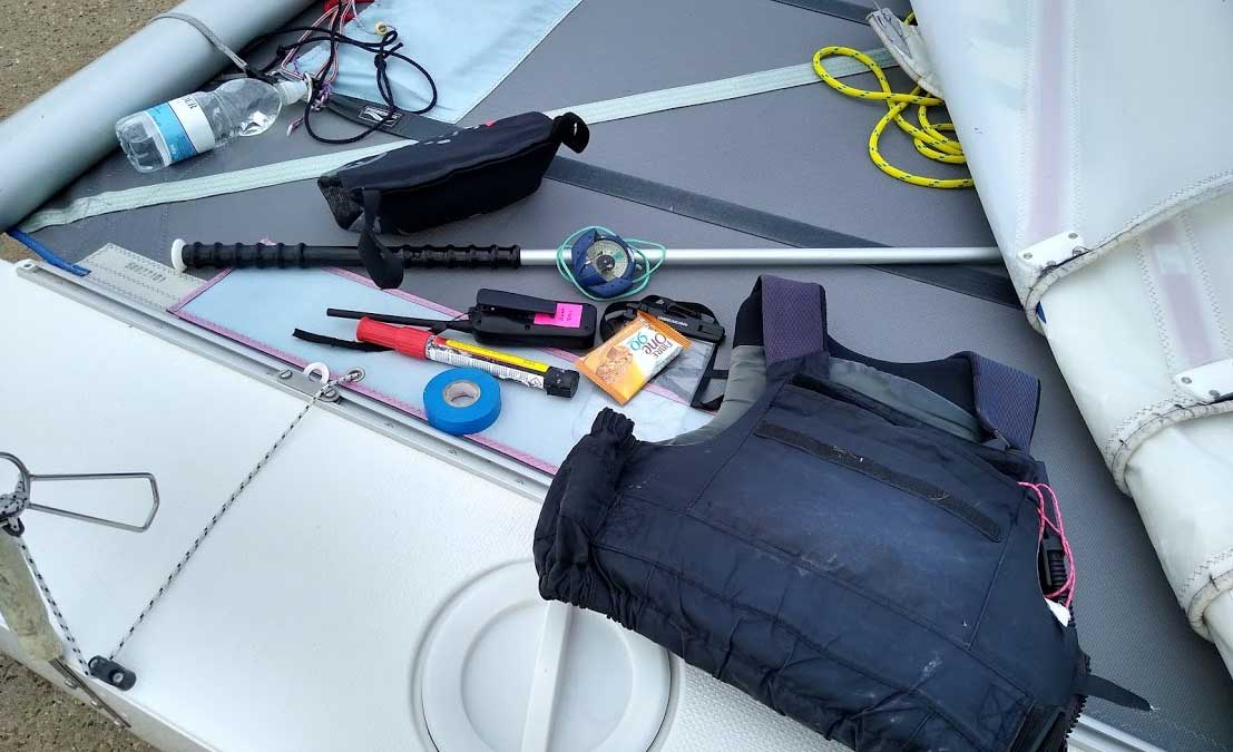
We were both taking our safety very seriously though. We picked an August day with a decent breeze and where the forecast had been consistent, so hopefully accurate. We (well, I) planned our start time to be through the Rays’n channel an hour before high water knowing that the forecast SSW breeze would make for a quicker sail home with the wind behind us out of the Crouch and back up to the Blackwater. In addition to navigation tools, we carried spare parts, tape and basic tools to effect minor repairs and each carried tow rope, paddle and personal flares. We also each had our phones and a VHF radio and I was sending regular updates via text to Mission Control (aka Dave working from home in Tillingham).
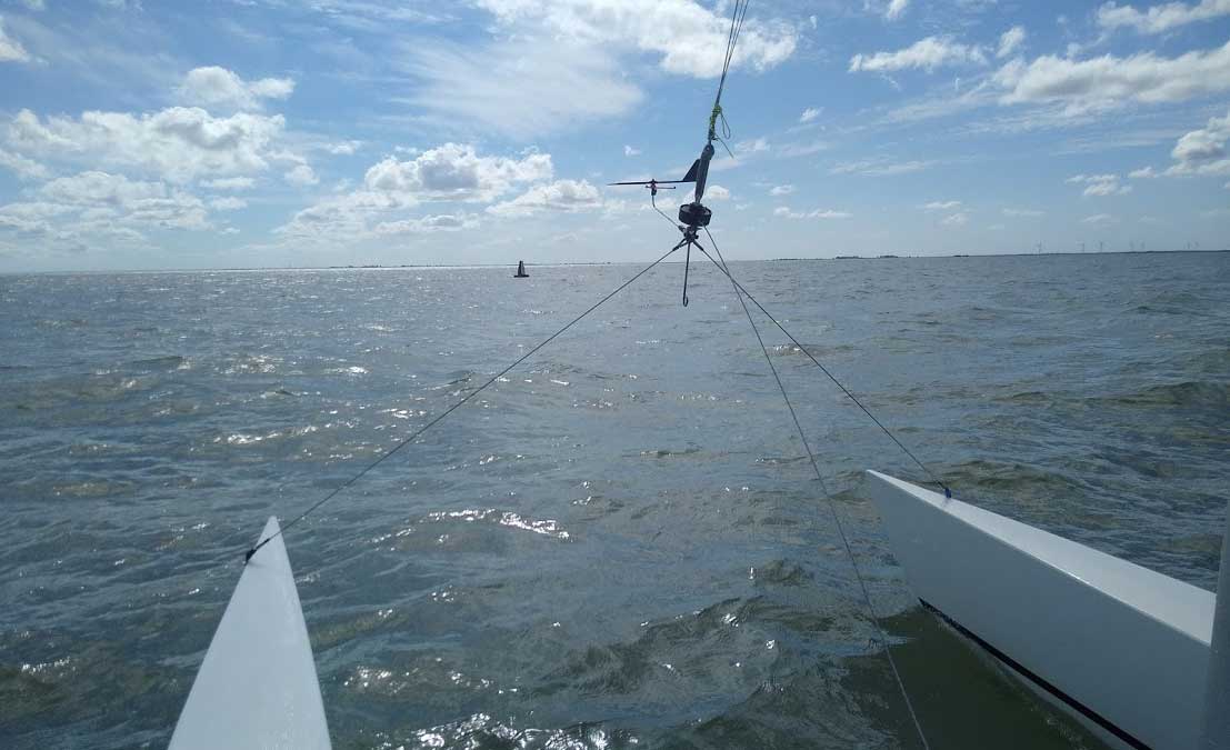
We set off in a decent SSW breeze as forecast and made great progress, reaching the Baffle in 40 minutes. The joys of straight-line sailing even against the tide! Once we reached the Power Station, the wind softened and swung all the way round to the east – which was most definitely not in the forecast. As a result, we now had to tack against the tide to get out of the river, which was not part of the plan. On the plus side, an Easterly breeze would make for straight line sailing for the rest of the trip so we were not too concerned to start with. I did short boards inshore to stay out of the strongest part of the tide – Fleet Commodore Nigel opted for the more novel approach of fetching all the way out into the channel and then back again. I waited off St Peter’s Chapel for him to catch up again and we set off southward down the edge of the Dengie Peninsular. Frustratingly, the wind had veered back to SW so we found ourselves having to tack the full way across the St Peter and Dengie Flats. The only landmarks once you get past St Peter’s Chapel are two windfarms – one at Bradwell and one on the Southminster Marshes. Tack after tack we hoped to have left one and then the other behind, but they were stubbornly still in front of us each time we tacked back inshore and we were already near the top of the tide and an hour later than we had planned. Eventually I picked up the Raysand North buoy (more by luck than by design) and from there picked up the Raysand Middle buoy. This was re-assuring as it meant we had made some real progress and also could start looking for the buoyage that marks the entry into the River Crouch, safely the other side of the Ray Sand. It was a stiff breeze with a short chop but a bright day so visibility was pretty good for buoy spotting and the Outer Crouch channel marks were clearly visible. I watched a yacht reach the starboard hand marker and then free off and head straight up the Crouch – we were going to make much quicker progress once we reached the buoy.
But the wind had other ideas and veered further round to the West. Frustratingly, once I reached the Outer Crouch, I still had to tack my way to reach Holliwell Point and make the entrance to the Crouch and by now the tide was turning against us. For Fleet Commodore Nigel, who was a bit further back, it resulted in a very frustrating extended beat and the Southminster Windfarm became his arch nemesis.
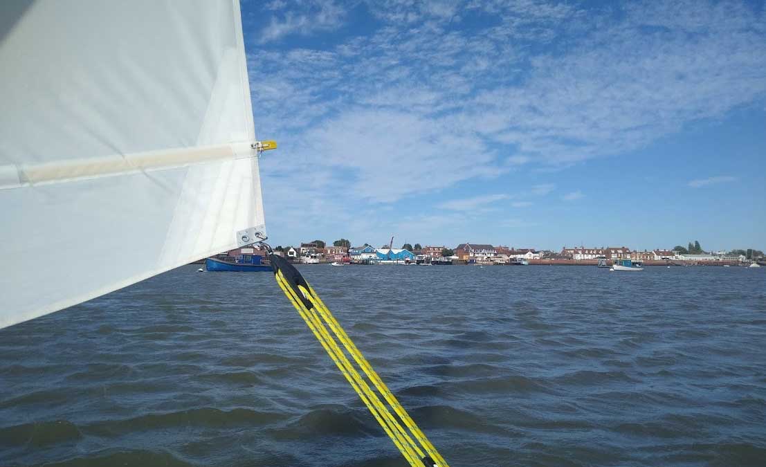
We regrouped at Holliwell Point opposite Foulness Island and were able to finally straight line sail up the River Crouch. The gusts were very strong which made for a very lively sail up the river. It was good to make such quick progress but I was concerned about those gusts hitting us dead downwind in shallow water and short chop on the way back across the Dengie and St Peter’s Flats. Anyone familiar with a Sprint 15 will know they are remarkably resilient boats in strong breezes but dead downwind a very strong gust can stick the bows under and cause the boat to pitchpole. I did not fancy doing that in 2 foot of water a long way from home. But for now, we blasted past Foulness Island and the entrance to the River Roach (which is on our wish list for a visit next year) and reached the moorings at Burnham remarkably quickly. We sailed as far as the entrance to Burnham Marina and had a brief rest and chocolate bar break. We had made it! I have only sailed on the Crouch in small racing yachts – it was much nicer to do so in my own boat.
We were well past high water by now and whilst it would be a much quicker sail back, I knew we were going to have to be very careful and stick absolutely to the marked channel all the way home to minimise the risk of getting stuck. So I called to Fleet Commodore Nigel that we needed to “buoy hop” all the way back and stick close to the channel at all times. He nodded his agreement and then shot off through the Burnham moorings, nowhere near any of the channel markers at all. Ignoring his higher ranking, I stuck to the channel markers out of the Crouch. It was still gusty to start with and with the tide under us, we made swift progress. The weather gods then decided to smile on us. The sun was bright, visibility was excellent and the strong gusts faded making for great flat water sailing in a decent breeze. From the buoy at Holliwell Point, I picked up the Outer Crouch No. 1 starboard marker which was the cue to turn north and head across the gap between the Ray Sand and Buxey Sand.
There is a Raysand Buoy – which the East Coast Rivers describes as “notoriously difficult to spot” not least because it is regularly moved because the sand banks shift. Never one to miss a challenge, I had been looking out for it and managed to spot it in the distance. It turned out to be very flat and yellow and holding up a small white board with “Raysand” written on it. I have seen more prominent navigation marks in my time. I headed to it and took photographic evidence in case challenged for proof and then headed across to the two Raysand Channel markers. Ironically, it was at this point that both rudders popped up as I had hit the sands at precisely the point a navigation mark is telling me I am statistically best placed to avoid them.
Fortunately, after a few yards, I was able to get the rudders back down again and I carefully sailed across to the red Raysand Channel markers. I called Nigel on the VHF to warn him about the shallow waters but he did not reply. As I looked across, I could see he had both rudders lifted and was in the process of gybing round so I did not interrupt by calling again. Once it looked like he was back in normal sailing mode – I called him again on the VHF. “All OK – nothing to see here” – he responded, lying. It later transpired that he had been watching a seal swimming only to realise that the seal was heading to join his mates who were sunbathing high and dry on a sandbank not more than a few metres from where Nigel was sailing. Hence, the evasive action.
I let him know that I had found deeper water over by the red channel markers and would be heading due north until I was well clear of the flats to port before turning into the River Blackwater. I was able to use my hand compass to manage this part of the route – which was easier than having to fire up the phone periodically to navigate.
Obviously, this disappointed Fleet Commodore Nigel who made no attempt to get to the channel marked by the red buoys and having narrowly missed out on parking on the Ray Sand, decided to cut the corner across to Weymarks at Bradwell and try to park up on St Peter’s Flats instead. It later transpired that Fleet Commodore Nigel’s Garmin watch did not have anything approaching a chart on it. It had a landlubber map which only shows fully dry land and marks everything else as the sea. So it gives no indication of the channel or sands or how shallow they are or when they dry out altogether. “I didn’t realise it got so shallow out there” he said, afterwards. If only he had taken with him a section of chart that he had mocked so much, he might have realised that straying from the navigation marks could have parked us up for the best part of 8 hours on very unforgiving rock hard sand. Perhaps it is just as well he didn’t.
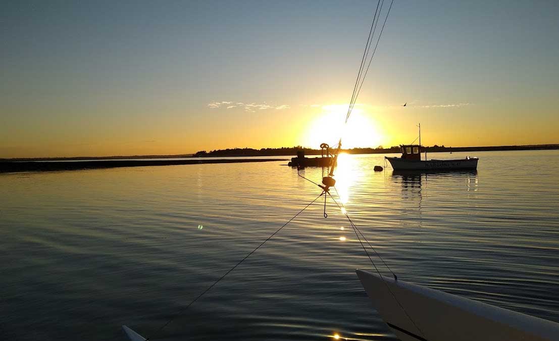
Nevertheless, we made it to Weymarks and the familiar waters of the River Blackwater in one piece. A decent breeze carried us into the river rapidly to start with, despite punching the tide. But, as it does, the breeze fell away as the evening wore on and having been on our beam ends in the Crouch, we almost drifted the final stretch from Thirslet back to the club, arriving at dead low water and as the sun was setting around 7:45pm.
We had covered 49 Nautical Miles in 8 hours with a top speed of 17.4 knots in small boats. It had been great sailing and, of course, a real sense of achievement to have done something so different and proper long distance sailing. Of course, we could drive to Burnham from the club and back again in 45 minutes by car, but there is no fun in that.
Report from Jenny Ball